Route F88, also known as Öskjuleið, is a challenging highland road in northeastern Iceland that offers adventurous travelers access to some of the country's most remote and stunning landscapes. Spanning approximately 79 kilometers (49 miles), F88 connects Route 1 near the volcanic crater Hrossaborg to Route 910, providing a direct route to the Askja caldera.
Þorsteinsskáli along the F-road F88
Road Conditions and Accessibility
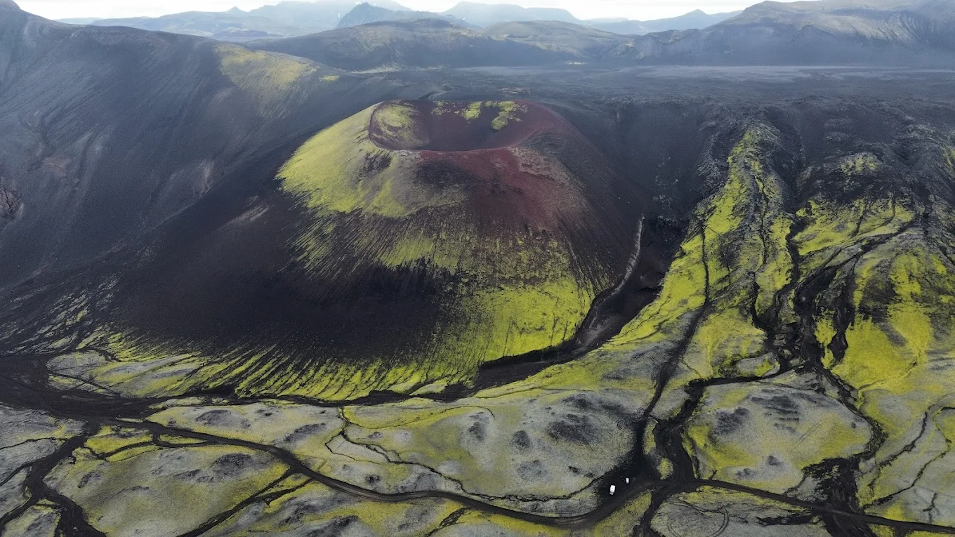
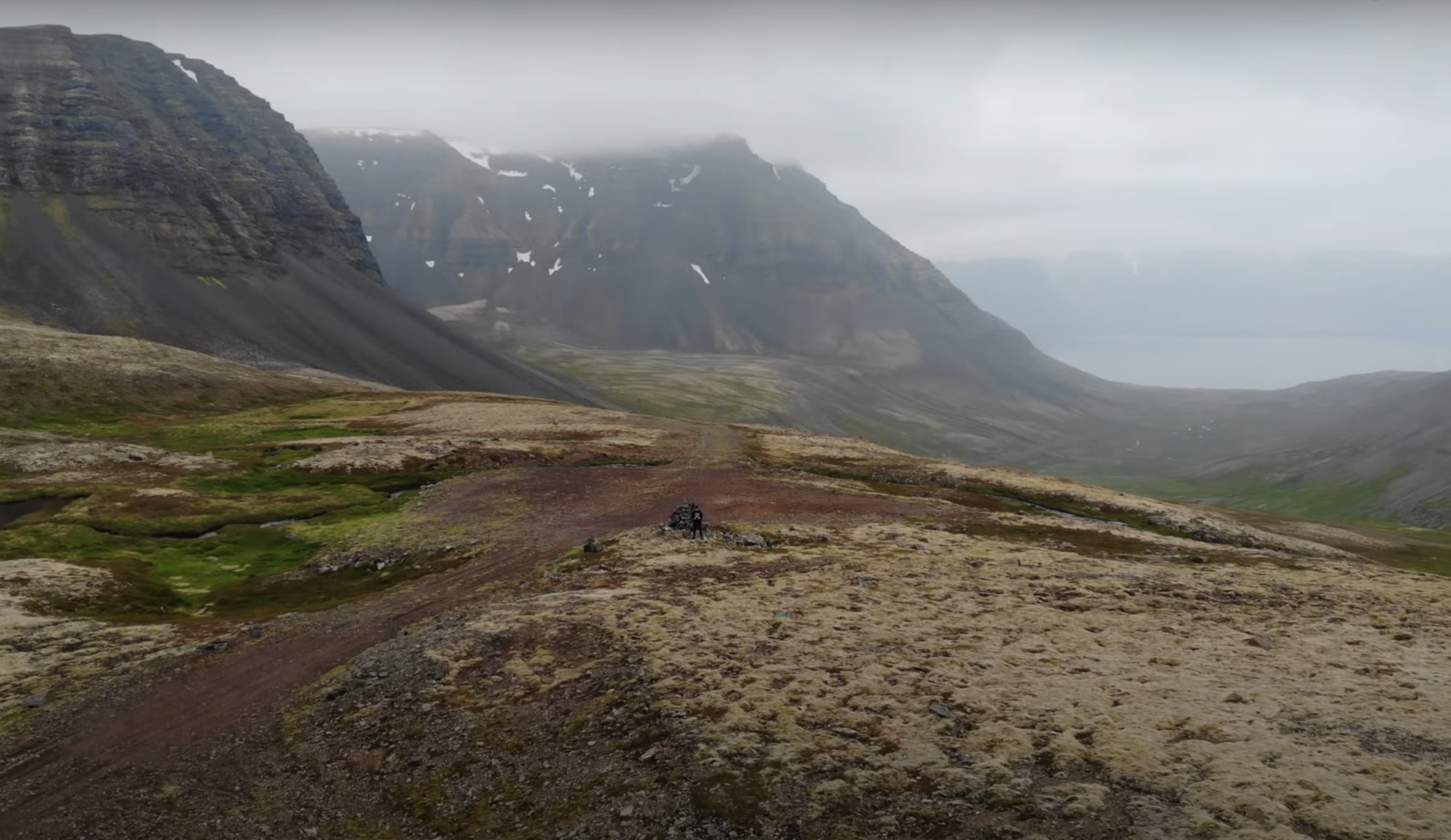
F88 is an unpaved track that traverses a desolate area north of the Vatnajökull glacier, characterized by a mixture of lava rock, ash, and sand. The terrain can be particularly harsh, with the ground often appearing smooth but concealing underlying mud. Sand and ash storms are common due to unobstructed winds across the landscape.
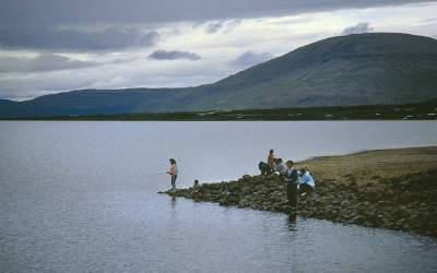
The route includes several unbridged river crossings, notably the Grafarlandsá and Lindá rivers, which can be challenging or even impassable for smaller vehicles, especially during heavy rain or high water levels.
Vehicle Requirements
Due to the demanding nature of F88, travel is restricted to 4x4 vehicles. It's strongly advised that travelers use high-clearance, well-maintained 4x4 vehicles equipped to handle deep river crossings and rough terrain. Traveling in groups of two or more vehicles is recommended to provide mutual assistance if needed.
River crossing F88
F88
Seasonal Accessibility
F88 is typically open from mid-June to late September, depending on weather conditions and road maintenance. The earliest opening date recorded is June 14th, while the latest is June 26th. Travelers should always check current road conditions and weather forecasts before embarking, as conditions can change rapidly.
Scenic and Cultural Significance
Traveling along F88 offers a unique opportunity to experience Iceland's rugged interior, with landscapes that can feel otherworldly. The route provides access to the Askja caldera, a central volcano in the Dyngjufjöll mountains, known for its dramatic scenery and the Víti geothermal lake. Additionally, the road passes near Herðubreið, often referred to as the "Queen of Icelandic Mountains," a majestic tuya that stands as a testament to Iceland's volcanic activity.
Safety Recommendations
Preparation: Ensure your vehicle is in excellent condition, carry spare tires, and bring sufficient supplies, including food, water, and warm clothing, as services are scarce along this route.
Communication: Mobile phone coverage is limited; consider carrying a satellite phone or personal locator beacon for emergencies.
Weather Monitoring: Icelandic weather is highly unpredictable. Always check the latest forecasts and be prepared for sudden changes.
River Crossings: Assess water levels carefully before crossing rivers. If uncertain about the depth or safety, do not attempt to cross.
Mountain Huts along F88
Travelers navigating Iceland's F88 (Öskjuleið) will find several mountain huts offering shelter and amenities in this remote highland region. Here's an overview of the notable huts along this route:
1. Þorsteinsskáli Hut
Location: Situated in the Herðubreiðarlindir oasis, approximately 4 km east of the Herðubreið table mountain.
Coordinates: 65.192656, -16.222453
Facilities:
Accommodation: Sleeps 30 people in sleeping bag arrangements.
Amenities: Equipped with gas stoves for cooking and kerosene heaters. A sanitary building provides toilets and gas-operated showers, available during the summer months when wardens are present.
Camping: A designated camping area is adjacent to the hut.
Additional Information: The hut is closed during winter months.
Þorsteinsskáli
2. Bræðrafell Hut
Location: South-southeast of Bræðrafell mountain, just south of the Kollóttadyngja lava shield.
Coordinates: 65.188125, -16.538898
Facilities:
Accommodation: Sleeps 16 people.
Amenities: Features an oil-operated stove for heating and cooking. During July and August, drinking water is collected from the roof into reservoirs; travelers are advised to bring their own water when traveling in the Ódáðahraun area.
Access: There is a marked walking route from Herðubreið mountain to the hut, approximately 9-10 km, marked by yellow sticks. The trail continues south to Dreki hut, east of the Dyngjufjöll massif.
Additional Information: The hut was built in 2016.
Bræðrafell Hut
3. Dreki Hut
Location: At the mouth of the Drekagil gorge, just under the east side of the Dyngjufjöll mountains.
Coordinates: 65.042080, -16.595700
Facilities:
Accommodation: Consists of two huts accommodating a total of 55 people.
Amenities: Equipped with kerosene-operated stoves for heating and gas for cooking. A sanitary house provides four toilets, including one with wheelchair access, and showers available during the summer months when wardens are present.
Camping: A camping site is available adjacent to the huts; reservations are not required for camping.
Additional Information: The huts are open from approximately June 20 to September 15, depending on weather conditions. There is a marked walking trail from the hut west across Dyngjufjöll massif into Askja caldera and also north to Bræðrafell hut. The Drekagil area serves as an ideal base for exploring the Askja caldera, located 9 km away by car.
Draki Hut
Conclusion
F88, or Öskjuleið, offers an adventurous route through some of Iceland's most remote and striking landscapes. With proper preparation, respect for the challenging conditions, and a suitable vehicle, travelers can experience the raw beauty of Iceland's highlands and the geological wonders they hold.