Get Your Map Now
Svalvogavegur, designated as Road 622, is a challenging and scenic route located in Iceland's Westfjords region. This 49-kilometer (approximately 30 miles) track connects the villages of Þingeyri in Dýrafjörður to Hrafnseyri in Arnarfjörður, offering travelers a unique journey through some of Iceland's most remote landscapes.
✹ Plan the journey during low tide to avoid being caught in rising waters.

Route Overview:
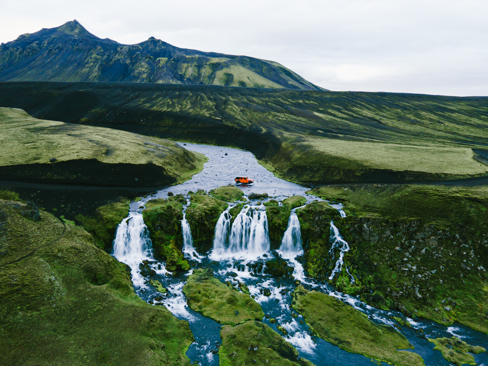
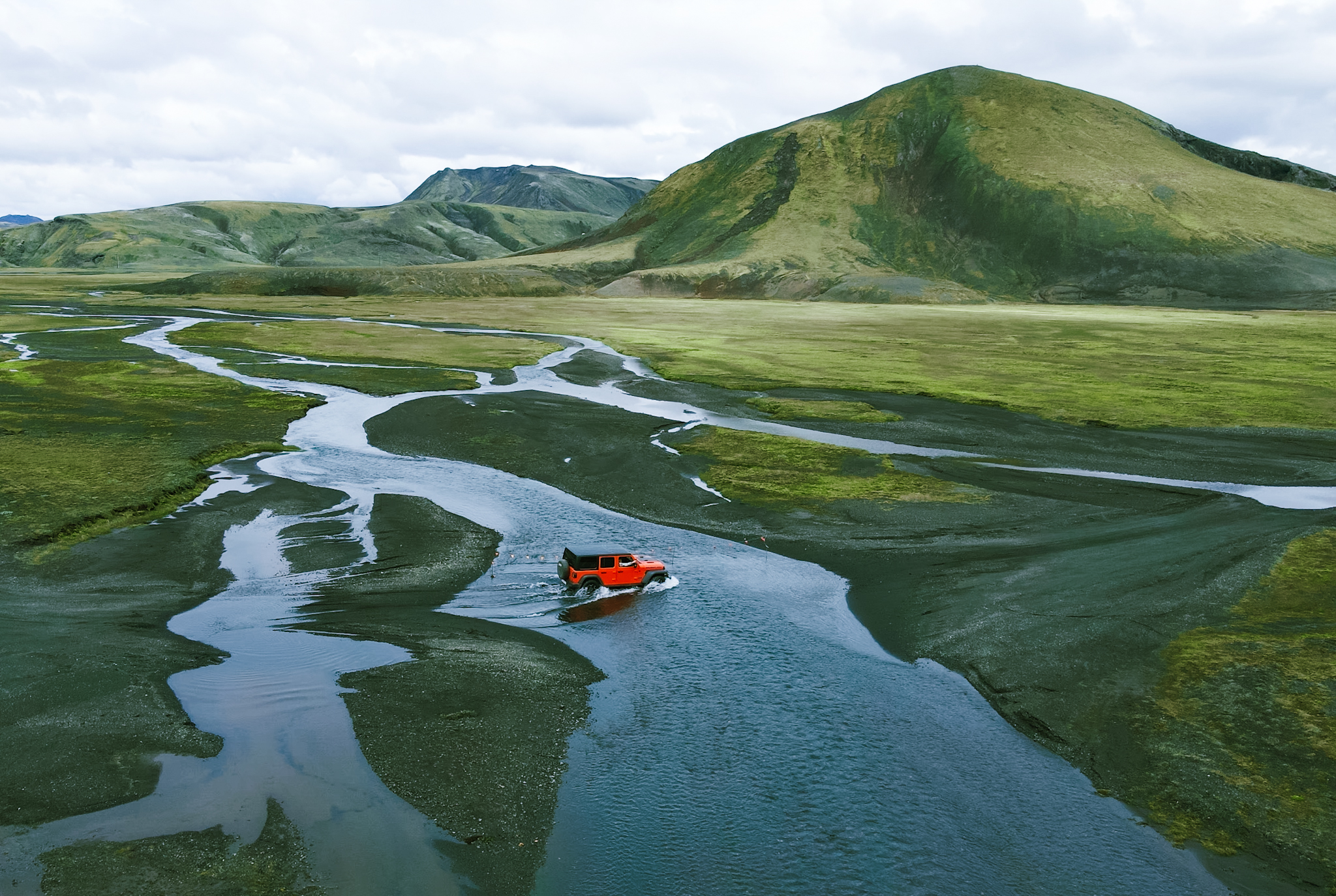
The road is renowned for its rugged terrain and breathtaking views. Carved into and beneath cliffs, it provides expansive vistas of the surrounding fjords and mountains. However, its narrow, single-lane path and proximity to steep drop-offs have led many to consider it one of Iceland's most dangerous roads.


Historical Context:
The construction of Svalvogavegur is a testament to human determination. In 1973, Elís Kjaran Friðfinnsson, a bulldozer operator from Kjaransstaðir farm, embarked on the ambitious project of carving this road into the challenging Westfjords terrain. Despite skepticism and the formidable landscape, his efforts resulted in a route that now bears his name, often referred to as Kjaransbraut or Kjaran's Avenue.
Driving Conditions and Recommendations:

✹ All the beautiful photos by Arjan Wilmsen © www.dedicationphotography.com/blog/road622westfjords.
Alternative Exploration Options:
For those hesitant to drive, guided jeep tours are available, offering the experience without the associated risks. Additionally, cycling enthusiasts can rent bikes to traverse the route, though the terrain demands a high fitness level and experience.
Conclusion:
Svalvogavegur (Road 622) offers an unparalleled adventure for those seeking to explore Iceland's rugged beauty. However, due to its challenging conditions, thorough preparation and caution are paramount. Whether driving, cycling, or joining a guided tour, travelers will be rewarded with some of the most stunning and secluded landscapes Iceland has to offer.

© 2024 Campsire.com
v.1.4